
Ymele:USA Alaska location map.svg

Size of this PNG preview of this SVG file: 800 be 598 dotta. Oðra metinga brædo: 320 be 239 dotta | 640 be 478 dotta | 1,024 be 765 dotta | 1,280 be 956 dotta | 2,560 be 1,912 dotta | 1,553 be 1,160 dotta.
Frumlicu ymele (SVG ymele, rihte 1,553 × 1,160 pixela, ymelan micelness: 1.24 MB)
Scortness
| Towritenness | |
| Tælmearc | |
| Fruma | Agen weorc |
| Dædfruma | Alexrk2 |
| Other versions |
Derivative works of this file: Starbucks footprint.png
|


| Open this image as an overlay in Google Earth (Google Maps, Bing) | (Help|Source) |
Leaf:
I, the copyright holder of this work, hereby publish it under the following licenses:

|
Permission is granted to copy, distribute and/or modify this document under the terms of the GNU Free Documentation License, Version 1.2 or any later version published by the Free Software Foundation; with no Invariant Sections, no Front-Cover Texts, and no Back-Cover Texts. A copy of the license is included in the section entitled GNU Free Documentation License. |
This file is licensed under the Creative Commons Attribution 3.0 Unported license.
- Þu most:
- bryttian – to copy, distribute and transmit the work
- to remix – andwendan þæt weorc
- Under the following conditions:
- hlígung – You must give appropriate credit, provide a link to the license, and indicate if changes were made. You may do so in any reasonable manner, but not in any way that suggests the licensor endorses you or your use.
Þu most ceosan leafe
| Annotations | This image is annotated: View the annotations at Commons |
Ymelan stær
Swing dæg/tide mid mys to seonne þa ymelan swa heo wæs on þære tide geywed.
| Dæg/Tid | Metungincel | Micelnesse gemetu | Brucend | Ymbspræc | |
|---|---|---|---|---|---|
| nu | 19:13, 3 Winterfylleð 2009 | | 1,553 × 1,160 (1.24 MB) | Alexrk2 | Linien gesäubert |
| 19:03, 3 Winterfylleð 2009 |  | 1,553 × 1,160 (1.25 MB) | Alexrk2 | Westlicher Teil korrigiert | |
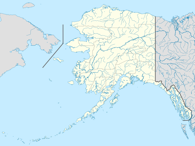
| 18:35, 3 Winterfylleð 2009 |  | 1,553 × 1,160 (1.24 MB) | Alexrk2 | == Beschreibung == {{Information |Description= {{de|Positionskarte von Alaska, USA}} Quadratische Plattkarte, N-S-Streckung 210.0 %. Geographische Begrenzung der Karte: * N: 72.0° N * S: 51.0° N * W: 188.0° W * O: 129.0° W { |
Biliþbendas
Þǣr sind nāne trametas þe bindaþ tō þissum biliðe.